
Finding Salem Residents by Record Role
Salem does not maintain one open roll of everyone who lives in the city. Instead, the Salem Real Estate Department ties an owner and mailing address to a parcel, the circuit clerk keeps parties to land and court records, and the registrar handles election records. Salem Public Library, the Virginia Room, and Salem Museum hold historical sources that can show a person or household at a place and time. Start with the name or address already known, then ask what relationship the next source can actually confirm.
A land-book name can be an owner with a different mailing address. A directory entry is evidence that the printer listed someone at an address in that year. A cemetery result is an interment fact. That careful labeling matters in Salem because a pre-1968 document can be a Roanoke County record even when the place is now in the independent city.
- Normalize the Salem street address in the form shown by the city GIS, saving alternate abbreviations and any unit number.
- Check the current parcel, land-book entry, and deed reference through the Salem property and map tools.
- For a past household, search the relevant directory street section and the alphabetical listing, then note the year and page.
- Follow a deed reference through Salem Circuit Court or the earlier Roanoke County route when the legal description reaches the older jurisdiction.
- Use voter, court, vital, or archival material only for the focused question and its stated access rules.
Note: Save the source date and the exact role shown before combining any Salem records.
Salem City and County Record Paths
Salem is an independent city, not part of present-day Roanoke County. That does not make the county trail irrelevant. Roanoke County formed in 1838, and the town's earlier land, marriage, tax, probate, and court material can carry that jurisdiction. The current Salem Circuit Court Clerk is at 2 E Calhoun Street, while Roanoke County Circuit Court is physically at 305 E Main Street in Salem. A courthouse address alone does not identify the record jurisdiction.
Use the city route for current Salem parcels, municipal GIS, and post-transition city records. Use the Library of Virginia's county microfilm guide or the county clerk for earlier deeds and court series. When making a request, state whether it concerns Salem City or Roanoke County, the approximate date, the record type, and any deed book or index range. That language helps staff locate the right series without silently changing the historical label.
| Question | First Salem route | Older or alternate route |
|---|---|---|
| Current parcel or tax-map detail | Salem Real Estate Department and GIS | Land book, tax map, or city FOIA request |
| City deed, probate, marriage, or circuit file | Salem Circuit Court Clerk | Virginia SRA where enabled, then clerk access |
| Pre-city land or county court material | Roanoke County clerk at the Salem location | Library of Virginia microfilm and chancery resources |
Salem Property Search Starts an Address Trail
The Salem Property Search links the city to its DataScout property service. The city describes ownership, property characteristics, assessed values, enhanced mapping, imagery, and sales-statistics tools. The Real Estate Department is the fallback when a live portal view does not expose the needed parcel detail: City Hall, 114 N Broad Street, Salem, VA 24153, 540-375-3058, realestate@salemva.gov, Monday through Friday from 8 a.m. to 5 p.m.
DataScout's exact field order and required markers were not available in the research. Salem GIS does document an address, street-name, and tax-ID search. Treat a property result as a parcel record rather than a household list. Record the effective date, parcel identifier, legal description, owner or mailing field as labeled, and deed reference. A later deed check is needed before stating who owned a place on a particular date.
The official Salem property-search page is shown below.
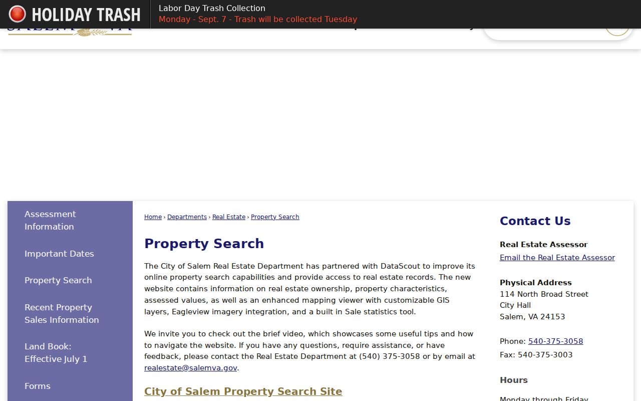
The captured page shows the city entry point for the assessed-value, ownership, mapping, and sales-information tools discussed in the Salem address workflow.
Salem GIS Connects Streets and Parcels
The City of Salem GIS is the clearest street-oriented tool. It documents searches by address, street name, or tax ID, plus measurement and parcel-print tools. Its public applications include parcels, address points, city limits, tax-map grid, roads, buildings, zoning, polling locations, schools, flood zones, East Hill Cemetery, annexation material, and a downtown historic comparison. The map is provided for graphic representation and is not survey evidence.
| GIS control or layer | Use in a Salem search | Limit to keep |
|---|---|---|
| Address, street name, or tax ID | Find the mapped parcel or civic location | Search spelling and results can vary by current map data |
| Tax parcels and address points | Compare parcel geometry with a street address | Geometry does not identify every household member |
| City Limits and tax-map grid | Test city jurisdiction and stable map orientation | Use the displayed map date with the result |
| Roads, buildings, easements, and plats | Interpret a legal description or street context | Do not use the map as a legal boundary survey |
Updates occur as needed, typically Friday mornings from 8 to 10, so a temporary outage is possible. The public GIS REST service confirms layer names, but it does not establish every feature field or pop-up value. Save the map date, layer name, and any disclaimer with a Salem map note.
Salem Residents Directory Record Desks
Use the office that created the record. Salem's real-estate staff address current parcel and land-book questions. The Salem Circuit Court Clerk handles city circuit files, deeds, wills, probate, marriage licenses, and related records. The registrar is the local election contact, while the library and museum lead historical work. A Salem request is more useful when it names an instrument, address, date, or map number instead of asking an office to identify a person broadly.
Salem Real Estate Department
114 N Broad Street, City Hall
Salem, VA 24153
540-375-3058
For an older county request, the Library of Virginia Roanoke County guide identifies deed books, grantor and grantee indexes, marriage, tax, will, chancery, and related series. Ask first for index access, then confirm copy rules and fees.
Current Salem Resident Directory Sources
Current Salem records answer different questions. The property record can connect a parcel to its recorded owner and mailing field. GIS gives street and jurisdiction context. A court index identifies a party to a case or instrument. The Virginia Citizen Portal is a focused status tool, not an open public directory. Municipal staff listings identify city contacts, not the general public. Keeping those roles separate makes a Salem residents directory more accurate and less intrusive.
| Salem source | Record relationship | Custodian | Access channel |
|---|---|---|---|
| DataScout property record and land book | Owner, mailing address, parcel facts, deed reference | Salem Real Estate Department | City link, land-book page, counter, email, or FOIA |
| GIS parcel and address layers | Parcel location, city boundary, and map context | Salem GIS / Community Development | Public map, REST service, print tool, or department request |
| OCIS or circuit file | Party to a public case or instrument | Virginia courts and Salem clerk | Online case information where available, clerk access, or copy request |
| Citizen Portal and statutory voter records | Focused registration or precinct evidence | Virginia Department of Elections and Salem registrar | One-person portal or restricted records process |
| Library and archival collections | Historical directory, phone-book, newspaper, or yearbook entry | Library, Virginia Room, and museum | Catalog, in-person research, appointment, or research request |
A street-specific chain belongs on the Salem street directory, where parcel mapping, land-book references, deeds, plats, permits, and historical street entries can be read in address order.
Salem Voter Status Has Narrow Uses
Virginia's Citizen Portal asks for a name, date of birth, last four Social Security digits, locality, and an attestation. When applicable, a result can show registration status, address, election district, polling place, and voting history. It is intended for a focused person-status check. It is not an open Salem residents directory, and Virginia does not register voters by party.
The Salem registrar is at 19 E Clay Street, and the city lists ten precinct names. A precinct label can help find dated election notices or local news, but it is not automatically a neighborhood boundary. Public voter lists and fuller products are governed by Virginia law and request rules. Protected voters may have a P.O. Box or substitute address. Never retain an identifier used by the portal, and do not turn a received voter list into a searchable collection.
The official Virginia voter-status form is shown below.
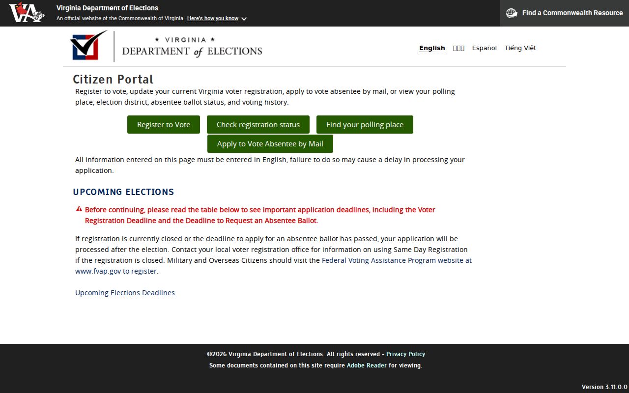
The form illustrates why voter material is a confirmation route with its own identity checks, rather than a broad Salem resident-search tool.
Salem Land Books Keep Address Fields Separate
Salem's effective July 1 land-book page is a useful companion to an online parcel view. Its documented columns include owner name and address, map or zone and property use, legal description and state class, bill number, taxes, land, improvements, total, and deed reference. Those labels make a land book useful for a research log. They also show why the owner mailing address and the property location must never be collapsed into one unsupported claim.
- Parcel
- A mapped unit of property used to connect an address, tax map, legal description, and recorded material.
- Situs address
- The physical location of the property, which can differ from an owner's mailing address.
- Deed reference
- A book, page, instrument, or similar citation that points to a recorded land transfer.
- Criss-cross directory
- A historical directory arrangement that lets a researcher approach entries by address as well as by surname.
For a Salem address, record both the literal field label and the effective date. Then compare the deed reference with the clerk's index. A name in a tax record may be an owner, trustee, business, or mailing contact rather than a current resident.
Salem Library and Museum Human Trails
People researching family history, a classmate, or a long-held neighborhood connection can add a human record trail after the parcel work. Salem Public Library at 28 E Main Street offers local-history referrals, yearbooks, cemetery GIS, research databases, a scanner, and genealogy assistance. The Virginia Room preserves city directories, phone books, Salem Times Register microfilm, and the house-history guide. These sources document historical appearance, not a current address.
Salem Museum's Logan Research Library adds local biographies, family histories, yearbooks, newspapers, maps, photos, and topical files. It is open Friday by appointment from 10 a.m. to 2 p.m.; research requests are fee-based. Its catalog and staff can be more useful than a broad name search when a researcher has a street, institution, approximate date, or name variant. The library network also helps a Salem researcher move between archival maps, local directories, and newspaper accounts.
The Logan Research Library provides the archival route pictured here.
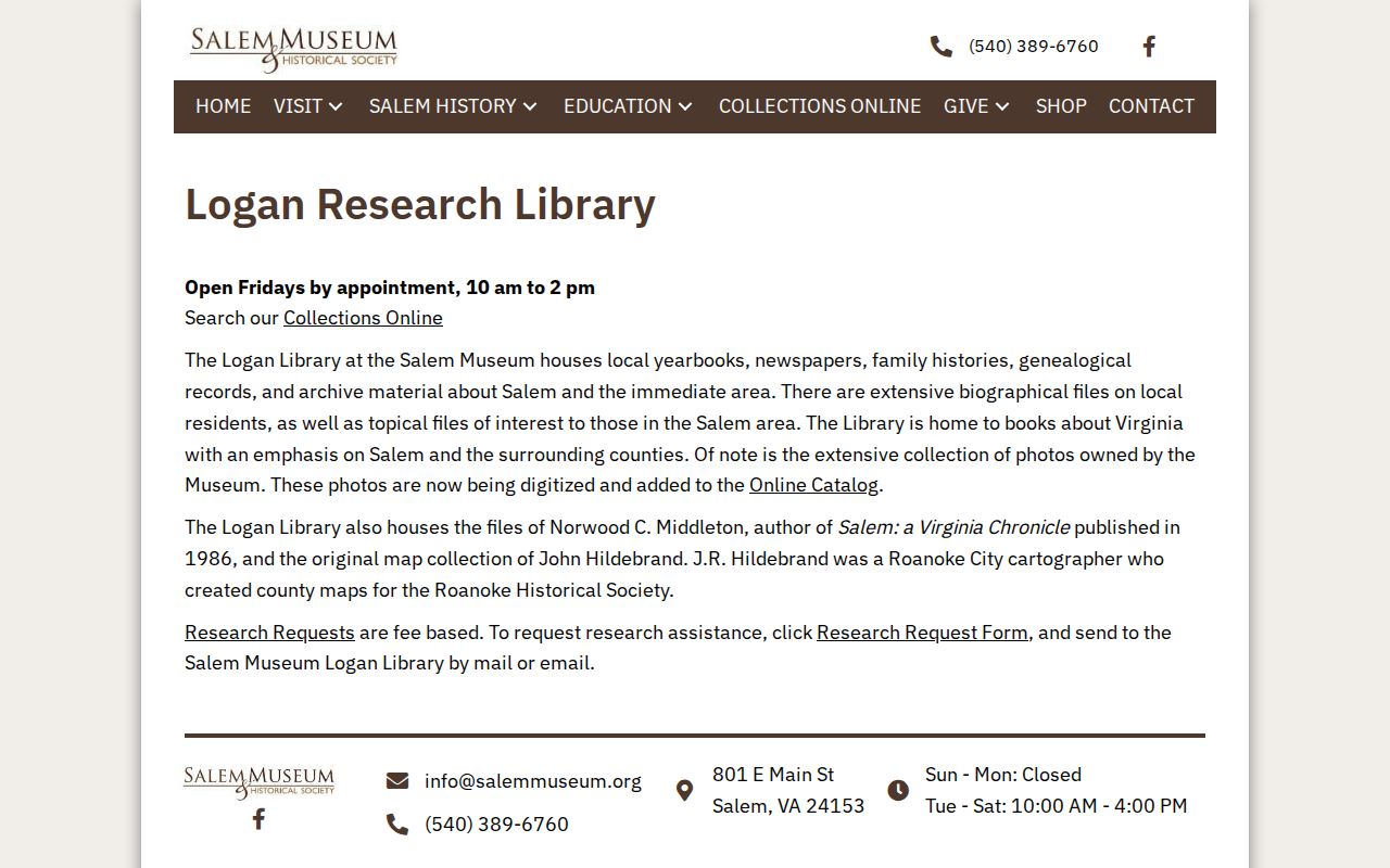
The library's appointment and catalog route is especially helpful when a Salem directory or map entry needs context from a local biography, photo, or newspaper file.
Salem Record Roles Need Two Anchors
Use at least two independent anchors before combining Salem records. Good pairs include a full name plus address, a name plus middle initial and date, a name plus institution, or a name plus deed legal description. A common name needs a third anchor. Keep the original spelling and abbreviation for the source, then keep a separate normalized form for searching.
| Official record route | Useful confirmation | What it cannot settle alone |
|---|---|---|
| Parcel or land book | Property relationship and recorded mailing field | Current household membership |
| Directory or phone book | Historical appearance at a printed address | Present-day residence |
| Deed or court index | Role in an instrument or proceeding | Every person tied to a property |
| Map, plat, or Sanborn source | Place, structure, or legal geography | A person's identity |
Salem Geography Changes Older Searches
Salem's geography is part of its records story. The early town was platted in 1802. Roanoke County formed in 1838, South Salem was annexed in 1953, an eastern tract followed in 1960, and Salem became an independent city at the end of 1967 with its present charter in 1968. An address trail can therefore move through town, county, and city labels without the place itself being a different community.
The city GIS has an annexation time-lapse and a downtown 1873/current comparison. Those tools are helpful for testing whether an older street or lot belongs in the county series, while a modern map establishes the present municipal view. Precinct names such as North Salem or South Salem are useful dated civic terms, but they should not be treated as legal neighborhood boundaries without the relevant map and election date.
The City of Salem history page supports the jurisdiction and annexation context shown below.
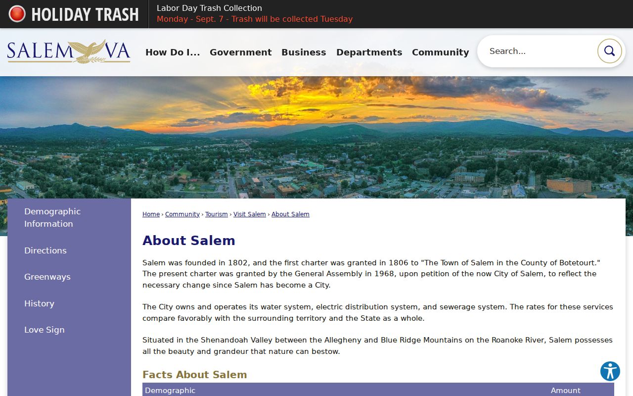
This city source helps preserve the distinction between a postal or civic Salem label and the jurisdiction that created an older record.
Note: Use a city-limits layer and the record date before treating a Salem label as a municipal-jurisdiction fact.
Historical Salem Residents Directory Collections
For historical households, the strongest Salem directory lead is regional. Roanoke directories include Salem beginning in 1923, and the Virginia Room guide lists Roanoke and Salem phone books from 1916 through 2008. The 1923 Hill Directory title identifies Roanoke, Salem, and Vinton together. A separate 1928 Hill's Salem Classified Business Directory is cited in the Downtown Salem historic-district material. Verify each volume locally because the published research does not list every annual Salem run or gap.
A directory can preserve a name, street address, occupation, spouse notation, business affiliation, or cross-reference. Search the street portion when the address is known, then the alphabetical entry for spelling variants. Pair the result with a deed, map, newspaper, or census record as appropriate. The Salem Directory Book keeps the full collection, phone-book, Sanborn, and archival-shelf trail in one historical workflow.