
Salem Neighbors by Block
Salem public sources can describe the block around a Salem address, but they do not supply a complete list of residents. Salem GIS shows parcels, address points, roads, buildings, city limits, and other public layers. The Salem land book can carry an owner and mailing field, legal description, map or zone, values, and deed reference. Salem historic directories and maps can place printed entries or structures in time. Use each Salem result as a labeled record fact, not as a claim about who occupies a nearby home.
| Source | What It Shows About a Block | Access |
|---|---|---|
| Salem GIS parcels and address points | Parcel geometry, adjoining parcels, street frontage, address placement, roads, city limits, and map date. | Public GIS apps and REST layers. |
| Salem land book and DataScout | Owner or mailing field, legal description, tax map context, values, and deed reference where shown. | Salem property search, land book, or Real Estate Department. |
| Salem subdivision plats and deeds | Lot, plat, subdivision, transfer parties, and the historic jurisdiction of a tract. | City plats, county plat index, circuit clerk, or Library of Virginia. |
| Salem directories, maps, and newspapers | Dated printed address entries, structures, street orientation, or civic context. | Salem Library, Virginia Room, museum, and Digital Sanborn access. |
| Salem election and civic layers | Precinct, polling, school, zoning, flood, cemetery, or annexation geography. | GIS specialty applications; not a resident roster. |
Salem neighbors may be visible in a historic directory only as a printed name at a dated Salem address. A Salem parcel record may name a recorded owner and a mailing contact. Neither result identifies every household member, visitor, utility customer, or current occupant. This distinction is especially important where an owner’s mailing address is outside Salem or where a Salem address changed after annexation, subdivision, or a historic street-number change.
Salem GIS for Neighbors
Salem GIS documents search by address, street name, or tax ID. Its public applications include tax parcels, address points, street centerlines, city limits, tax map grid, easements, roads, buildings, zoning, polling locations, schools, flood zones, cemetery information, annexation time-lapse, and a Downtown 1873/current spyglass. The city says the map is a graphic representation, not survey evidence, and updates occur as needed, typically Friday from 8 to 10 a.m. A map may be unavailable during that work.
The Salem GIS page is the official entry point for those address and layer tools.
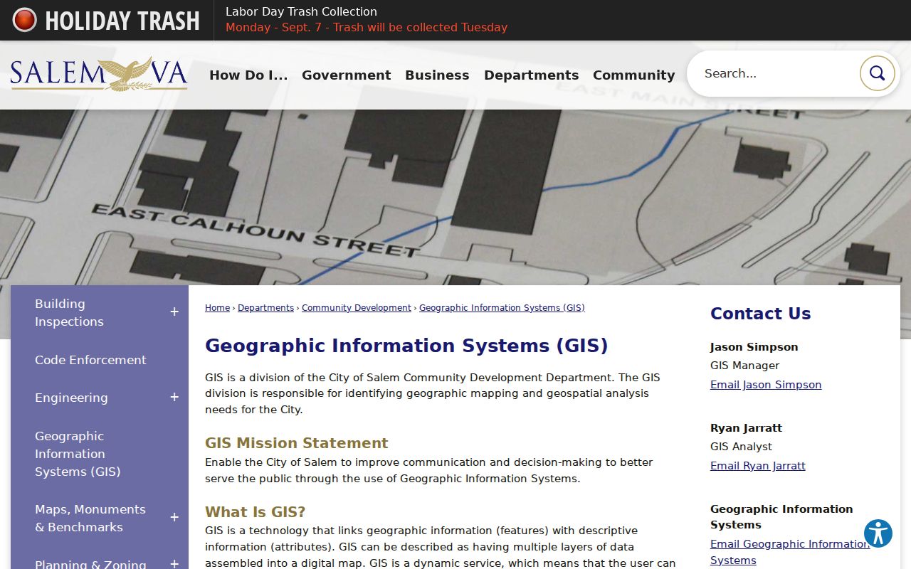
The viewer supports a geographic block study when the source date and layer disclaimer travel with the notes.
The city’s public GIS REST MapServer confirms layers named Parcel Layers, Address Points, City Limits, Tax Map Grid, Easements, Roads, Buildings, and Rivers_Ponds.
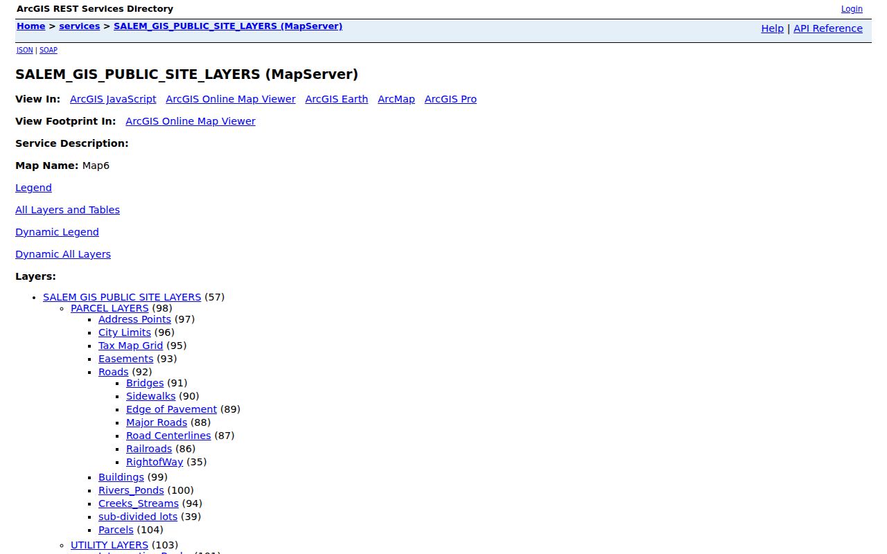
The REST directory verifies the public layer structure, but its layer names do not establish undocumented pop-up fields or a person’s relationship to a parcel.
Map a Salem Neighbor Block
Start from one Salem target parcel and work outward only as far as the map supports. The useful Salem comparison set is the target, adjoining parcels where the geometry shows contact, and a same-plat parcel if one exists. Record tax-map or parcel ID, street frontage, legal-description clue, public owner or mailing field if displayed, and source date. A shared Salem subdivision plat can explain a common tract history. It does not prove a personal relationship among Salem neighbors.
- Locate the address in Salem GIS and save its displayed form, map position, and city-limit context.
- Turn on parcels and address points. Identify the target and immediately adjoining parcel geometry without assuming every near point touches it.
- Compare the tax map, legal description, and subdivision plat. Record a deed reference or owner or mailing field only as the field is labeled.
- Check a dated Sanborn map, directory street section, or newspaper for structure or civic context, then retain any mismatch rather than forcing a match.
The process is address to parcel, parcel to adjoining geometry, geometry to plat or deed context, then historical map or directory confirmation. A creek, railroad, easement, flood zone, city-limit line, or former annexation edge can explain why two addresses that look close do not share a tract history. For the complete named-street record chain, use the Salem Street Directory rather than extending a neighbor study across an entire street.
Note: The city GIS documentation does not establish exact parcel pop-up fields, so record only fields visible in the current official view.
Salem Neighbor Geography
Local place names are useful search terms, but they are not all legal neighborhood boundaries. Official civic or historical sources refer to Downtown and the North Broad Street historic area, South Salem, East Salem, Southside Hills, Hidden Valley, Conehurst, Beverly Heights, West Salem, and North Salem. Several also appear as precinct names. Use the relevant election-year map before treating a precinct as a boundary, and use the historic district, planning document, or newspaper context that actually names the place.
Salem’s maps add an unusually clear time layer. The GIS system includes the Downtown 1873/current spyglass and annexation tools. South Salem was annexed in 1953, an eastern tract in 1960, and Salem became an independent city at the end of 1967 with its current charter in 1968. A place that looks like one Salem block today may appear in older records under Roanoke County. Preserving that jurisdiction is the reliable geographic choice.
The City of Salem history page is the source for the independent-city and annexation context captured below.
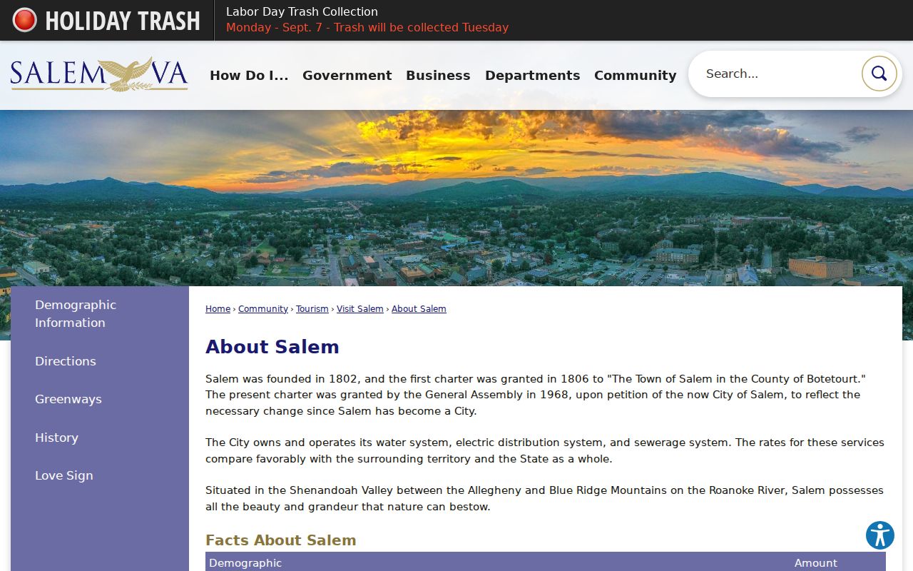
Historic districts and civic geography can guide a map or archive search without becoming a claim about every person on the block.
Salem Community Context Sources
No official Salem page with a complete neighborhood-association directory was located. That documented gap is not proof that no associations exist. Until an organization’s own official page is verified, use city council agendas, planning and zoning materials, comprehensive-plan appendices, historic-district documents, Salem Public Library referrals, and Salem Museum files to understand public community context. Label an organization’s own description as its description and date it.
| Community research route | Verified Salem context | Use with care |
|---|---|---|
| City council and planning records | Public agendas, subject parcels, planning geography, and city applications. | An applicant can be an owner, contractor, institution, or representative. |
| Salem Public Library | Local-history referrals, yearbooks, cemetery GIS, research databases, and the regional library network. | Collection access can be licensed, in-library, or card restricted. |
| Salem Museum Logan Research Library | Biographies, family histories, newspapers, yearbooks, photographs, maps, and topical files. | Appointment and fee-based research rules apply. |
| Historic district and map sources | Downtown history, street orientation, institutions, structures, and annexation context. | Historic place evidence does not identify a modern household. |
These sources support a human-use view of Salem neighbors: tracing a block’s institutions, school connections, historic structures, or civic history. They are safer and more accurate than trying to assemble a private social roster from unrelated public fields.
Salem Public Library, at 28 E Main Street, connects local-history researchers to yearbooks, cemetery GIS, the Virginia Room, and research databases. The Salem Museum’s Logan Research Library at 801 E Main Street adds local biographies, family histories, newspapers, photographs, maps, and topical files through a Friday appointment route. These institutions can help someone understand why a block changed, which school or civic building anchored it, or how a historic street was described. They do not provide a private neighborhood membership list.
Salem Neighbor Record Comparison
A Salem block study benefits from comparing the official record with a copied or unverified neighbor result. The important question is not which list has more names. It is whether a Salem result carries a source, date, record role, jurisdiction, and a clear limit on what it establishes.
| Official, dated record | Copied or unverified neighbor result |
|---|---|
| Can be checked with Salem GIS, a clerk, land book, library, museum, or state custodian. | May omit the source date, use stale fields, or join people with similar names. |
| Labels a parcel owner, mailing field, court party, directory entry, or public geographic layer. | May blur those distinct roles into a claim of current residence. |
| Lets the researcher record jurisdiction, document date, and access caveat. | May not disclose how the address or relationship was inferred. |
Salem Precinct Labels Need Dates
Salem’s election pages identify ten precinct labels: North Salem No. 2, Conehurst, Beverly Heights, West Salem, North Salem No. 1, South Salem No. 1, South Salem No. 2, East Salem, Southside Hills, and Hidden Valley. Those names are useful when searching dated city notices, newspapers, or civic material. They are election-administration labels, not automatically legal neighborhood lines or evidence about Salem neighbors.
| Salem election fact | How to use it |
|---|---|
| Salem Registrar | Registration and election contact is at 19 E Clay Street, 540-375-3034. |
| 2025 polling arrangement | The city directed all ten precincts to Salem Civic Center for that election. Confirm the event date before relying on a location. |
| Precinct record | Save the election year, map or notice, and the precise displayed Salem precinct name. |
For a block question, use Salem GIS parcel and City Limits layers first. Add a Salem precinct only when the relevant dated election source needs civic geography. That keeps a useful public label from being mistaken for a private neighborhood roster.
Salem Neighbor Lookup Limits
Nearby parcel records do not identify a complete household. Utility customers and delivery information are not public block records. A public voter or precinct record has legal limits and protected addresses may be replaced by a substitute address. The Virginia Address Confidentiality Program provides eligible participants a substitute mailing address and forwarding service. Do not attempt to uncover a protected physical address through maps, deeds, directories, voter data, or other sources.
Keep the source relationship exact: a grantee is not necessarily an occupant, a mailing field is not necessarily a parcel location, a court party is not a block resident, and a historic directory entry is not a current one. A public map or record does not authorize repeated contact, intimidation, or surveillance. When an official field is wrong, use the agency’s correction or records process rather than publishing a replacement.
Virginia FOIA can be a route for identifiable public records held by the city, but it does not override protected voter information, vital-record rules, sealed court material, driver privacy, or the Address Confidentiality Program. A narrow request should state the address, date range, record type, and public purpose the record can answer. The city’s records office, the clerk, the library, and an archive each keep different material, so sending the same broad request to every office is less useful than choosing the custodian first.
Lawful use. Use Salem block records for lawful personal research and public geography only. Virginia Code § 18.2-60.3 addresses stalking; never use an address or record to stalk, harass, intimidate, or harm anyone.