
Trace a Salem Street Directory
A street-by-street search is strongest when each record answers one small question. Salem GIS establishes the address spelling, mapped parcel, and city-limit context. The real-estate record and land book identify the parcel's recorded fields and deed reference. A deed index can then identify parties to a transfer, while a historical directory can show a printed address entry for a particular year. Do not read any one step as a list of all current residents.
- Enter the address in Salem GIS and save its current spelling, street suffix, tax ID if shown, and map date.
- Open the parcel and land-book record. Copy the property location, owner or mailing field exactly as labeled, legal description, and deed reference.
- Use the Salem Circuit Court Clerk or Virginia Secure Remote Access, where Salem access is enabled, to locate the cited land instrument.
- Follow the prior deed until the legal description reaches the earlier Roanoke County series, preserving that county jurisdiction.
- For an earlier household question, compare the street section and alphabetical entry in local directories or phone books.
Salem voter material is not a whole-street lookup. The Virginia Citizen Portal is a focused, identity-checked status tool, and statutory voter-list products have their own restricted request process.
Search Salem Streets in GIS
The City of Salem GIS documents the best verified street-search controls: address, street name, and tax ID. It also lists measurement and print-parcel tools. Search a street name first when the civic number is uncertain, then narrow to an address point or parcel. The result is map context, not a legal survey or proof that a person occupies the location.
| Salem GIS field or control | Type | Required | Documented use |
|---|---|---|---|
| Address | Search text or geocoder | Optional | Find an address on the public map. |
| Street name | Search text or map search | Optional | Locate a named Salem street. |
| Tax ID | Search text | Optional | Locate the mapped tax parcel. |
| Parcel layer | Map toggle | Optional | Display and select tax parcels. |
| Measure and Print Parcel Info | Tool buttons | Optional | Measure context or print available parcel information. |
Salem GIS data are provided as graphic representation and are not warranted as survey-accurate. The City of Salem says updates occur as needed, typically Friday mornings from 8 to 10, when the system may be unavailable. Save the Salem lookup date, selected layer, and the displayed disclaimer with a Salem street note.
The official Salem GIS page is shown below.
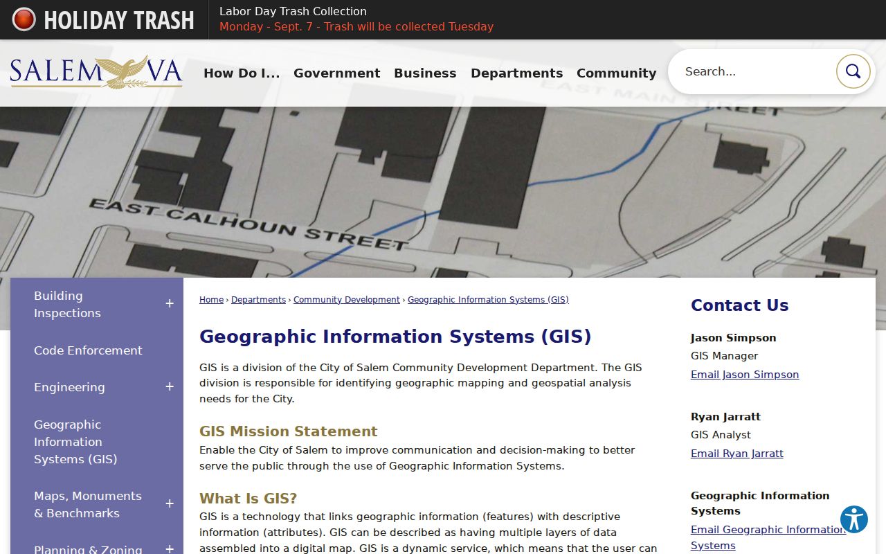
The image documents the City of Salem's own route to address, street-name, tax-ID, layer, and specialty-map tools used for Salem street research.
Salem Property Records by Address
The Salem Property Search describes the city DataScout service as a source for ownership, property characteristics, assessed values, enhanced mapping, Eagleview imagery, and sales statistics. Its exact live field order, filters, required markers, export options, and image cutoff were not exposed in the research. The city page is evidence for the service's stated capabilities, not for any unstated search field.
The Salem Real Estate Department provides a practical fallback for a parcel question. Staff are at City Hall, 114 N Broad Street, Salem, VA 24153; telephone 540-375-3058; email realestate@salemva.gov; Monday through Friday, 8 a.m. to 5 p.m. Supply a parcel address, tax-map number if known, and the assessment or land-book year needed. That request is clearer than asking for a person by name.
The city property-search entry page is pictured here.
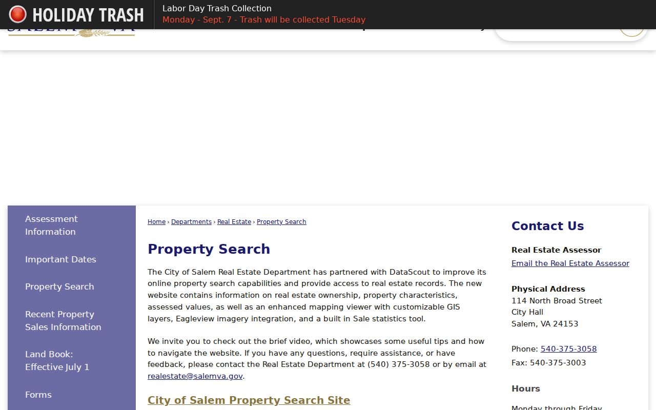
The city describes this route as the entry point for Salem ownership, characteristics, assessment, mapping, imagery, and sales-information research.
Salem Street Directory Source Chain
Address-keyed sources overlap, but they are not interchangeable. The parcel and GIS layers give current geographic context. The land book adds labeled assessment fields and a deed reference. Clerk-held instruments supply transfer parties and legal descriptions. Plats explain lot creation. Directories and phone books can show a historical printed entry. Permits and code files can date a public project or address event, but an applicant can be an owner, contractor, institution, or representative.
| Salem address source | What it can show | Access route |
|---|---|---|
| DataScout property record | Owner or mailing field, property characteristics, assessment context, and deed reference if displayed | City Property Search and Real Estate Department |
| GIS parcels and address points | Mapped parcel, address geometry, nearby parcels, and city boundary | Salem GIS and public ArcGIS layers |
| City land book | Owner or mailing field, map or zone, legal description, values, and deed reference | Effective July 1 land-book page |
| Deed or grantor-grantee index | Transfer parties, instrument date, legal description, and referenced plat | Salem clerk or SRA; LVA and county clerk for earlier records |
| Subdivision plat | Lot, block, subdivision, survey, and parcel-creation context | Salem and Roanoke County plat indexes |
| Directory or phone book | Historical address-to-name, occupation, spouse notation, or business entry | Virginia Room and collection-specific holdings |
| Permit or code record | Project, public application, inspection, or violation chronology | Cityworks, Community Development, request, or FOIA |
Utility customers, delivery records, and all household members are not supplied by this chain. A street directory should report the record role shown, rather than turn a mapped parcel into a claim about private household relationships.
Read Salem Land-Book Deed References
The Salem land book displays columns for owner name and address, map or zone and property use, legal description and state class, bill number, taxes, land, improvements, total, and deed reference. Use these literal labels in a research log. A documented sample included an out-of-state owner mailing address, which is a direct reminder that a mailing field and property location can be different facts.
- Parcel
- A mapped property unit that ties a street address to a tax map and legal description.
- Situs address
- The physical property location, distinct from an owner or tax mailing address.
- Plat
- A recorded plan showing lots, blocks, or survey context for a subdivision or tract.
- Criss-cross directory
- An address-arranged historical directory that can be read from a street toward printed names.
Use the deed reference to locate an instrument, then record the grantor, grantee, instrument or book and page, date, legal description, and referenced plat when displayed. Move backward one conveyance at a time. If the trail reaches the pre-1968 jurisdiction, search Roanoke County records rather than forcing an older instrument into Salem City.
Salem GIS Layers Map Street Context
The public Salem GIS REST MapServer confirms publicly named layer groups and layers including parcels, Address Points, City Limits, Tax Map Grid, Easements, Roads, Buildings, and Rivers_Ponds. The city GIS also points to zoning, polling, schools, cemetery, flood, annexation, and historic-downtown applications. Each layer answers a place question, not a resident question.
For a Salem block or street, compare the target parcel with adjoining map geometry, tax-map orientation, road frontage, and city limits. A road, creek, railroad, easement, flood zone, subdivision boundary, or former annexation line can explain why nearby addresses do not share the same record path. Do not infer that adjacent owners are related or live together simply because parcels meet.
The public Salem REST layer directory is shown below.
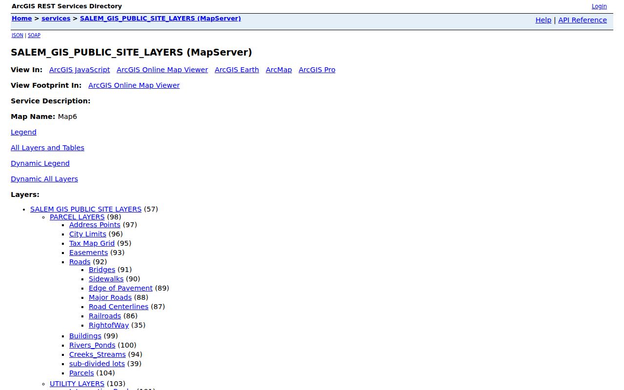
The layer list verifies the public service structure, while a live map view is still needed to see a particular parcel's visible fields and redactions.
Salem Plats Decode Street Origins
The city tax-map material says Salem-recorded plats date from incorporation in 1968. The Salem maps and monuments page and the linked Roanoke County plat index provide the bridge for older place names. The county index includes entries such as Burwells Survey, Susan Shanks Addition, W.H. Dennis Heirs, McCauley Addition, Glenmore, Kaseys Addition, Salem Improvement Co., Hockman Land Co., Preston McClelland Addition, Victoria Land and Improvement, Lake Spring Land Co., and Steelton Land Co.
Start with the current lot and parcel. Then identify the plat or book, preserve the subdivision name and lot number, and compare them with the deed chain and relevant directory year. A plat supplies lot and survey context. It does not establish that a person on a deed or directory entry lived at the present numbered address.
The official Salem parcel and plat index is shown here.
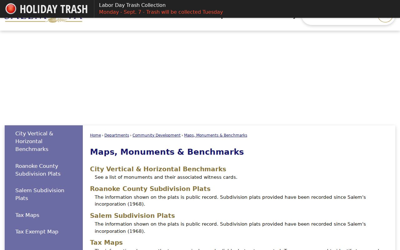
This official route helps a Salem address search move from a modern parcel toward a recorded lot, subdivision, or older county reference.
Salem Street Geography Needs Dates
Salem's municipal geography has changed over time. The early town was platted in 1802, Roanoke County formed in 1838, South Salem was annexed in 1953, an eastern tract followed in 1960, and the city became independent at the end of 1967 with its current charter in 1968. An old street record can therefore be correctly labeled Roanoke County even if the same location is within Salem today.
The Salem GIS annexation application and its downtown 1873/current comparison are useful for place history. North Broad Street's historic area, Downtown, South Salem, East Salem, Southside Hills, Hidden Valley, Conehurst, Beverly Heights, West Salem, and North Salem appear in civic or historic contexts. Some names are precinct terms, not legal neighborhoods. Use a map for the election date before giving a precinct name a boundary meaning.
That records geography is valuable for families tracing an old home, a civic institution, or a neighborhood change. It keeps the research focused on the address and jurisdiction rather than on speculation about the people near it.
Historical Salem Street Directory Tools
Historical address work benefits from the Virginia Room's directory and phone-book collections. Roanoke directories include Salem beginning in 1923, and the house-research guide lists Roanoke and Salem phone books from 1916 through 2008. Use the street portion first, then compare the alphabetical entry for surname variants. Record the printed number, street form, occupation, spouse notation, cross-reference, year, and page. A directory entry is historical evidence, not a current occupancy statement.
Sanborn map years listed for local house research are 1898, 1903, 1907, 1919, and 1955. They show structures, use labels, street orientation, and physical change, but not a complete roster of people. The Salem Directory Book has the full collection trail, including the 1923 regional directory lead, 1928 Salem classified-business lead, newspapers, yearbooks, and archival research channels.
The Virginia Secure Remote Access entry is pictured below because deed images and index access can depend on clerk authorization and subscription status.
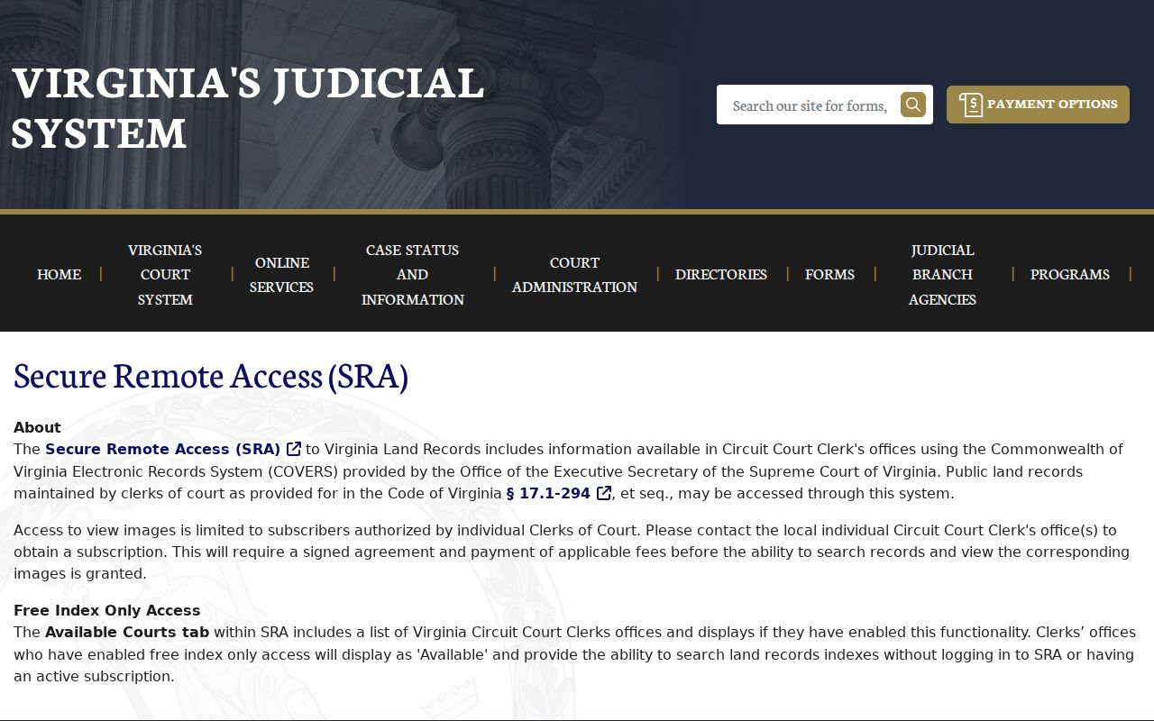
When online access is limited, contact the Salem clerk for city records and use the Library of Virginia or Roanoke County clerk for the earlier county series.
Salem ZIPs Are Not Street Boundaries
USPS delivery geography and Salem municipal geography are different systems. The official Virginia DMV locality table associates 24153, 24155, and 24157 with Salem City, with 24018 appearing in a later effective-date row. That association does not establish that every address in a ZIP lies within city limits. USPS itself warns that a ZIP lookup does not confirm that a person or company is located at an address.
For one street, use USPS By Address to check mailing format, then use the Salem GIS City Limits and Address Points layers to test municipal context. If all that is known is Salem, Virginia, USPS By City and State can return codes to preserve in the log. If the input is a ZIP, Cities by ZIP is a reverse check. Salem GIS documents address, street-name, and tax-ID searches, not ZIP as an input field.
Note: Keep postal city, ZIP, municipal jurisdiction, parcel location, and record date as separate Salem address fields.
Salem Permits Date Street Changes
Salem Planning and Zoning uses Cityworks for online applications, status checks, permit-document printing, fee payments, and inspection scheduling. Community Development handles permit review, ordinance interpretation, and alleged-violation investigations. These records can help date a public project or physical change at an address. They do not show a complete resident history, because an application can be filed by an owner, contractor, institution, or representative.
For an older Salem file, give the department a specific address, year, and document type. The research did not locate Cityworks' historic online coverage dates, so do not assume that a missing online result means no paper record exists. Ask Community Development for an older-file route or use the city's FOIA process for an identifiable public record, subject to exemptions and confidentiality rules.
Limits of Salem Street Directory
A Salem street directory cannot establish every person connected with a location. Parcel ownership, mailing fields, deed parties, directory entries, permits, voter status, and map geometry are different record roles. Private occupancy, utility, delivery, and household data are not made into a public street roll by these sources. A person listed in a tax record or an old directory may not be a current resident.
Virginia's Address Confidentiality Program can provide a substitute mailing address and forwarding service for eligible people. Protected voter records can also use substitute address arrangements. Do not try to reconstruct a protected physical address from parcels, voter sources, court records, directories, or other public material. Virginia law also restricts dissemination of received voter lists.